Services
3D Scanning of Industrial Plants and Buildings
We carry out 3D scanning of industrial plants, production halls, buildings, installations and outdoor areas. We deliver point clouds, 3D models, 2D drawings and access to the scan in the PlantScope platform. The company is based in Lublin, Poland, and we work across Poland and internationally.
Request a quote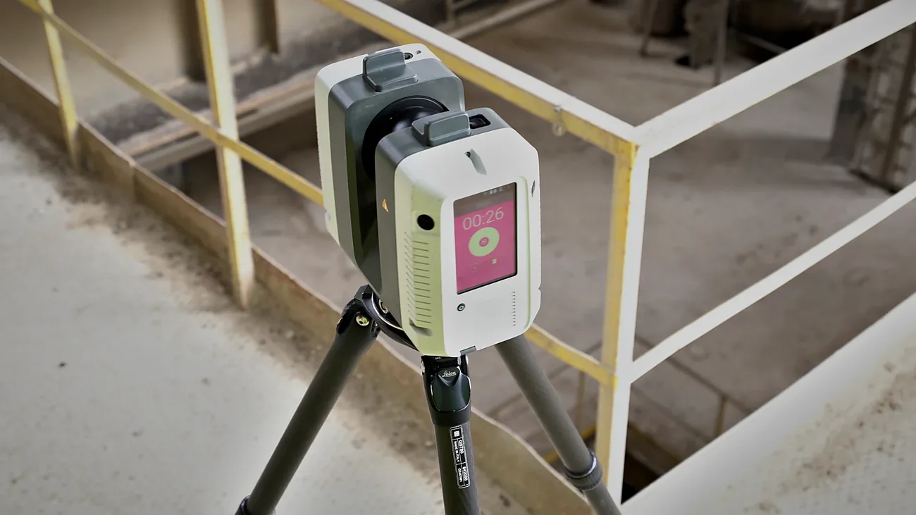
The existing state in digital form
Methods matched to the siteWe select the measurement method according to the size, character and accessibility of the site. We use laser scanning and photogrammetry, both terrestrial and drone-based. Gaussian Splatting models provide a photorealistic view of the site.
The result is an accurate record of the existing state – a basis for as-built documentation, retrofit design, maintenance planning and safety training in a digital twin of the plant.
Data we deliver
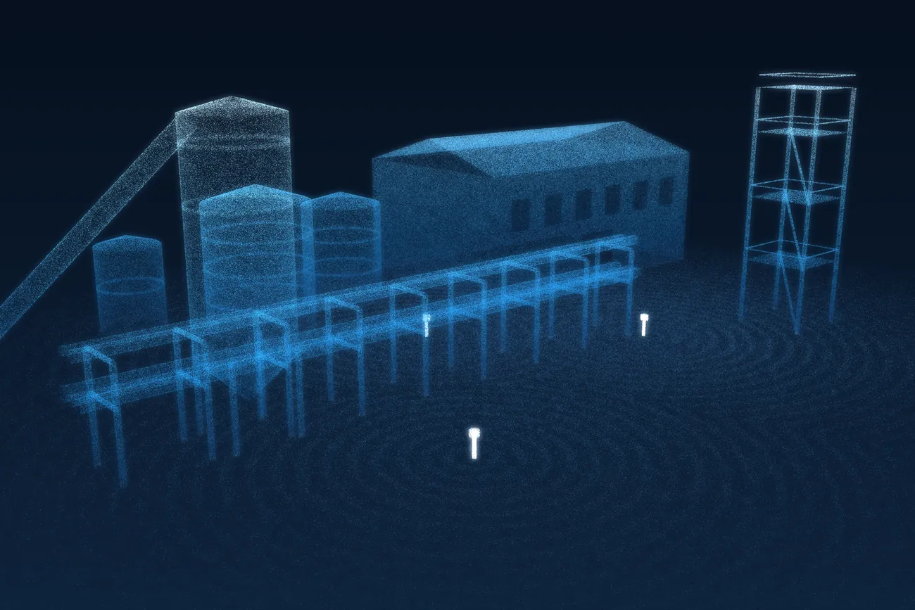
- point clouds in E57, LAS and RCP formats,
- 3D meshes and photorealistic Gaussian Splatting models,
- 2D drawings: plans, sections and elevations,
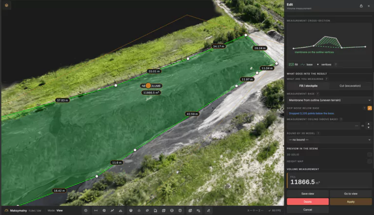
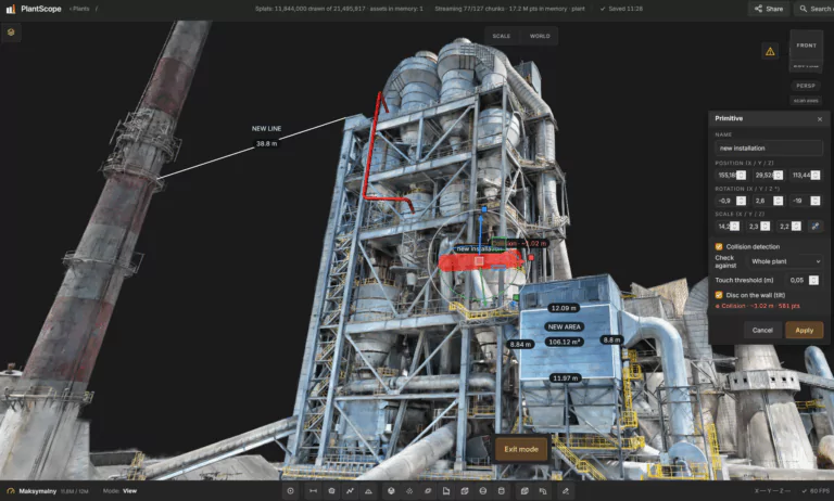
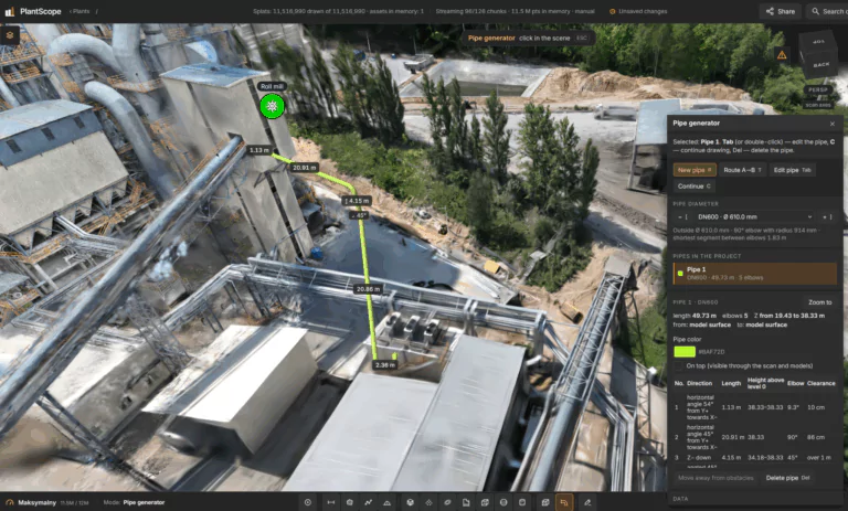
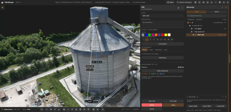
- access to the scan in PlantScope – measurements, documentation and sharing in a web browser.
The scope and data formats are agreed individually, depending on how the data will be used.

Laser scanning, photogrammetry and drones

Projects across Poland and internationally

Scan available in the browser in PlantScope
Laser scanning, photogrammetry and drones
Projects across Poland and internationally
Scan available in the browser in PlantScope
3D scanning
across sectors
3D scanning is used wherever a faithful record of the existing state is needed – in industry, construction and property management. Data from a single survey serves designers, contractors and managers throughout the life of the asset.

Industrial plantsAs-built surveys of halls and installations, retrofit design and material volume measurements.

Contractors and construction companiesRecords of work progress and of building services before they are concealed, and data for quantity take-offs.

Property developersA digital record of newly completed buildings at handover and a photorealistic presentation of the development.

Property and facility managersUp-to-date building records and planning of refurbishments and tenant fit-outs without repeated site visits.

Architects and designersThe existing state as a basis for redevelopment, extension and change-of-use design.

Heritage buildingsRecords of condition before conservation work and a photorealistic record of the building.
Frequently asked questions
What do you scan?
Industrial plants, production and storage halls, buildings, process installations, infrastructure and outdoor areas, including material storage yards.
Which technologies do you use?
Laser scanning, terrestrial photogrammetry, drone photogrammetry and Gaussian Splatting. We select the method according to the size and character of the site and the intended use of the data.
In what form will we receive the data?
Depending on your needs: as a point cloud (E57, LAS, RCP), a 3D mesh, a Gaussian Splatting model or 2D drawings. The scan can also be made available in the PlantScope platform.
Where do you work?
The company is based in Lublin, Poland. We carry out scanning projects across Poland and internationally.
Does scanning affect plant operations?
We agree the schedule and scope of work on site with the client so that it has as little impact as possible on ongoing operations.
How can we get a quote?
Please contact us through the contact form or at [email protected] with a short description of the site, its approximate size and the data you need. Quotes are prepared individually.
Sample scans
3D scans of industrial sites in the PlantScope platform.